Slowly but surely we are continuing in our quest to hike the MacLehose Trail. A few days ago, Monica and I met up again to travel all the way to Sai Kung (via Diamond Hill MTR station) and took a taxi to take us to the starting point on Pak Tam Road. It was good that we knew where we ended last time, so we just kept looking for the toilet house and the sign post. As soon as we saw them, we got off.
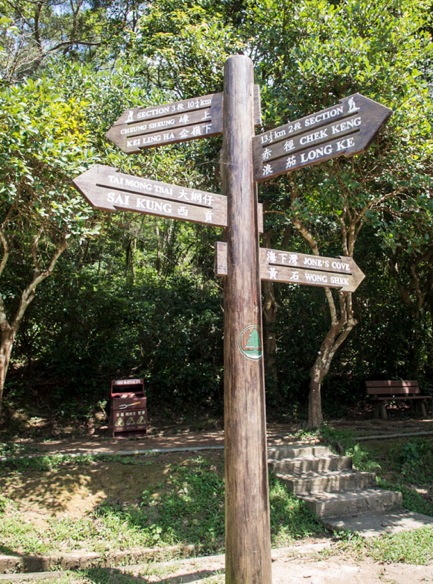
The good thing about the MacLehose Trail is that it is really well signposted – not like the Wilson Trail where we had so search for the right directions at some points!

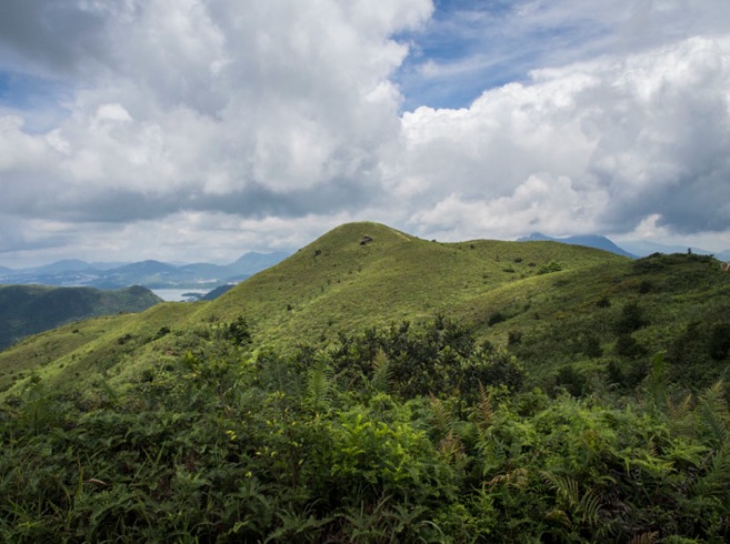
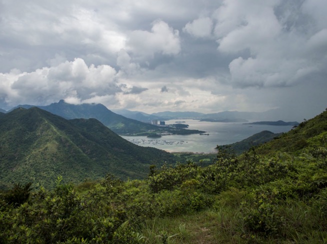
The walk starts with a straight walk up the hill to Ngam Tau Shan – which provides you with amazing views surrounding you. You can see Northern Tolo Channel, Tai Po to the west and Ma On Shan to the south on a clear day. We stopped halfway to take the first pictures:


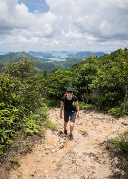
But we’ll have to continue climbing upwards, until we reach the top of Ngam Tau Shan. After that the hike continues on open slopes along the hilltop. The hiking book said that we should be passing remains of Hakka houses and farming terraces, which held rice and tea about 30 years ago, but I could not recognise those remains.
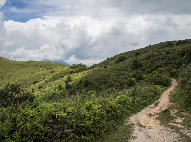
There are a few trees on the top, which provide some nice shade on hot and sunny days:


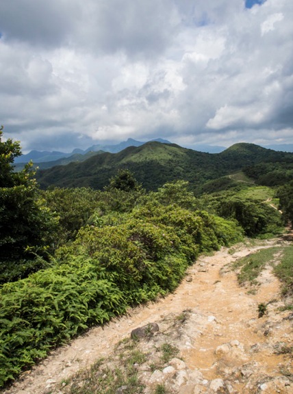
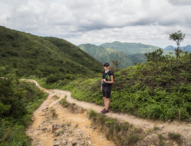
After walking through the woodlands, we reached the Cheung Sheung campsite. It is in a nice location, and we could see a few tents set up – but we just quickly walked through it. We knew that once we passed the campsite we had to climb uphill and across three hills each almost 400 metres high: Wa Mei Shan, Lui Ta Shek and Kai Kung Shan.

This was tiring, but we were rewarded with beautiful views surrounding us:
After that, it was steps downhill – all the way until Sai Sha Road, from which we took a bus to the MTR station Wu Kai Sha. The whole hike is only 9.5km long, but it is quite difficult with lots of ascents and descents. The hiking book recommended 5 hours, but we’ve actually did it in 3 hours (without stopping). It was a good workout!

Wow, looks like hard work but such amazing views! Lovely photos!
way to go! and excellent weather with cloud base not covering hill tops, with beautiful sights!